 |
Gran Canaria: Baranco de Agaete |
Album Overview
Photo Index
  |
|
More photos in the vicinity: A house in Agaete Church of Agaete Agaete |
The beautiful Barranco de Agaete is located between the slopes of the Pina de Tamadaba and the Pico de Zamaritta. |
|
|
Date: Nov 22, 2004 Longitude: -15° 40.28' Latitude: 28° 4.93'  
Show Photo Position in Google Maps |
||
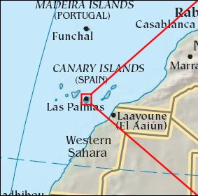 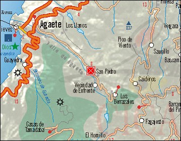 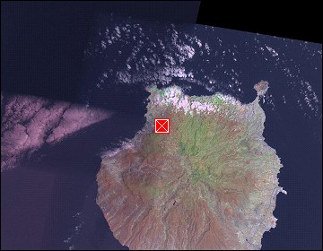 Map references: left: courtesy CIA, middle: courtesy Cicar, right: courtesy NASA. This page has been updated on: 2007-Nov-08 |
||