 |
Gran Canaria: The Peaks of the Canaries |
Album Overview
Photo Index
  |
|
More photos in the vicinity: Barranco de Tejeda Roque Bentaiga Valley of La Culata |
On this picture you can see the northern flank of the Roque Nublo, the sacred peak of Roque Bentaiga and Spain's highest mountain, the Pico de Teide on Tenerife. |
|
|
Date: Nov 23, 2004 Longitude: -15° 35.62' Latitude: 27° 58.63'  
Show Photo Position in Google Maps |
||
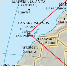   Map references: left: courtesy CIA, middle: courtesy Cicar, right: courtesy NASA. This page has been updated on: 2007-Nov-08 |
||