 |
Corsica: Col de Bavella |
Album Overview
Photo Index
  |
|
More photos in the vicinity: Col de Bavella Tafoni rock Madonna at Col de Bavella |
The parking place in the middle of the photo is at the Col de Bavella. This pass is a popular starting point for hiking. Corsica's most famous hiking route, the "Grande Route 20" (GR20) touches the road at Col de Bavella. |
|
|
Date: Sep 14, 2004 Longitude: 9° 12.83' Latitude: 41° 48.12'  
Show Photo Position in Google Maps |
||
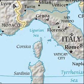 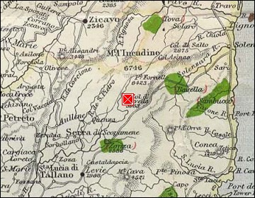 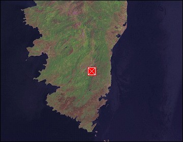 Map references: left: courtesy CIA, middle: courtesy US LoC Map Collection, right: courtesy NASA. This page has been updated on: 2007-Nov-07 |
||