 |
Kalymnos: Telendos |
Album Overview
Photo Index
  |
|
More photos in the vicinity: Southern Point of Telendos View from above Massouri Beach at Kantouni |
The island of Telendos was once connected to Kalymnos. Telendos was formed by an earthquake in 554 AC which created a 800 m wide water channel, separating Telendos from Kalymnos. |
|
|
Date: Aug 27, 2005 Longitude: 26° 56.40' Latitude: 36° 59.16'  
Show Photo Position in Google Maps |
||
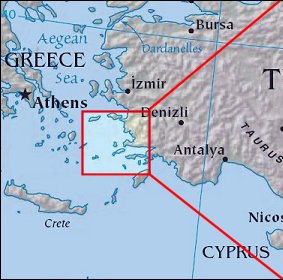 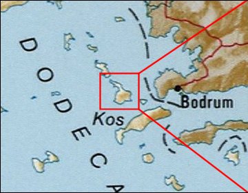 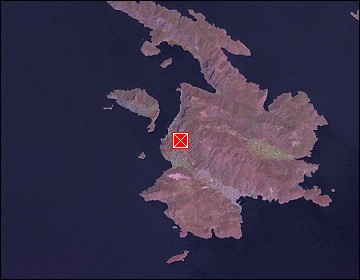 Map references: left: courtesy CIA, middle: courtesy US LoC Map Collection, right: courtesy NASA. This page has been updated on: 2007-Nov-08 |
||