 |
Kalymnos: Masouri and Myrties |
Album Overview
Photo Index
  |
|
More photos in the vicinity: Telendos Looking Northwest Hills of Kalymnos |
This picture was taken from one of the highest hills of Kalymnos. We looking southwards to Masouri and Myrties. At the right of the photo we see the southern tip of Telendos. |
|
|
Date: Sep 05, 2005 Longitude: 26° 56.92' Latitude: 37° 0.75'  
Show Photo Position in Google Maps |
||
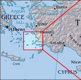 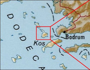 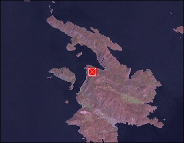 Map references: left: courtesy CIA, middle: courtesy US LoC Map Collection, right: courtesy NASA. This page has been updated on: 2007-Nov-08 |
||