 |
Andes: Calingasta |
Album Overview
Photo Index
  |
|
More photos in the vicinity: The mountain range of the Andes seen from Valle de Calingasta Rio San Juan Rio San Juan |
Thanks to extensive watering Calingasta is a town with lush vegetation amid the barren and desert-like region. |
|
|
Date: Mar 02, 2004 Longitude: -69° 25.23' Latitude: -31° 20.01'  
Show Photo Position in Google Maps |
||
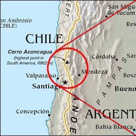 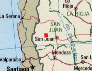  Map references: left: courtesy CIA, middle: courtesy LOC map collection, right: courtesy NASA. This page has been updated on: 2007-Nov-07 |
||