 |
Tuscany: Countryside II |
Album Overview
Photo Index
  |
|
More photos in the vicinity: Region around Certaldo Olive trees More olive trees ... |
 |
|
|
Date: May 13, 2005 Longitude: 11° 0.45' Latitude: 43° 32.78'  
Show Photo Position in Google Maps |
||
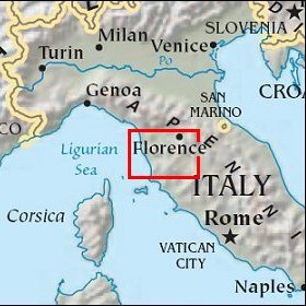   Map references: left: courtesy CIA, middle: courtesy US LoC Map Collection, right: courtesy NASA. This page has been updated on: 2007-Nov-08 |
||