 |
La Digue: Anse Patates |
Album Overview
Photo Index
  |
|
More photos in the vicinity: Palm Trees at the Beach The Northern Coast of La Digue Félicité seen from Anse Patates |
Anse Patates is at the northermost tip of La Digue. As everywhere in La Digue the granite blocks are washed by the waves, the vegetation comes down right to the shore line. |
|
|
Date: Jän 30, 2007 Longitude: 55° 50.07' Latitude: -4° 20.28'  
Show Photo Position in Google Maps |
||
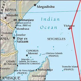 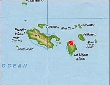 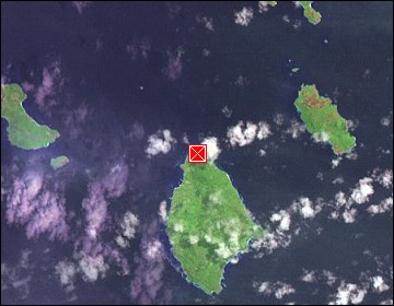 Map references: left: courtesy CIA, middle: courtesy US LoC Map Collection, right: courtesy NASA. This page has been updated on: 2007-Nov-08 |
||