 |
Mahé: Port Glaud |
Album Overview
Photo Index
  |
|
More photos in the vicinity: Montagne Toupie seen from Port Glaud St. Anne Marine National Park Trail through the Morne Seychellois Park |
This idyllic beach at the west coast of Mahé is called Port Glaud. It is practically empty despite the fact that a large hotel is just around the corner. |
|
|
Date: Jän 23, 2007 Longitude: 55° 25.04' Latitude: -4° 39.86'  
Show Photo Position in Google Maps |
||
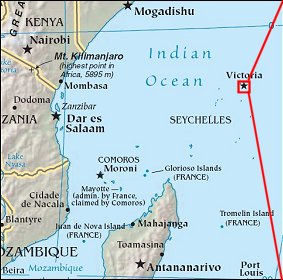 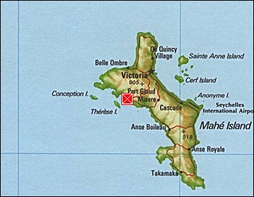 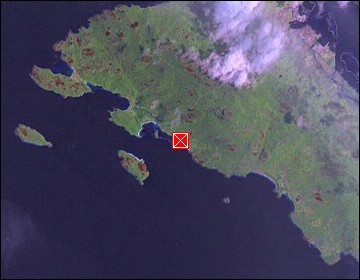 Map references: left: courtesy CIA, middle: courtesy US LoC Map Collection, right: courtesy NASA. This page has been updated on: 2007-Nov-08 |
||