 |
Mahé: Baie Lazare |
Album Overview
Photo Index
  |
|
More photos in the vicinity: Freshwater Pond Near Baie Lazare Granite Blocks in the Tropical Forest Beach at the Southern End of Mahé |
In the Baie Lazare you can clearly see the breakwater function of the coral reef. About 100 m from the beach you see the waves running up along the reef. |
|
|
Date: Jän 24, 2007 Longitude: 55° 28.55' Latitude: -4° 45.40'  
Show Photo Position in Google Maps |
||
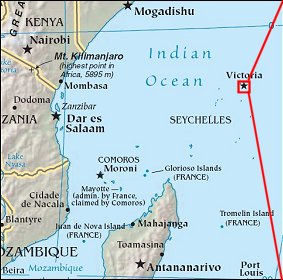   Map references: left: courtesy CIA, middle: courtesy US LoC Map Collection, right: courtesy NASA. This page has been updated on: 2007-Nov-08 |
||