 |
Praslin: Font Diable at the Côte d'Or |
Album Overview
Photo Index
  |
|
More photos in the vicinity: Curieuse seen from Côte d'Or Côte d'Or and Anse Volbert Two Kids on a Surf Board |
This hill called Font Diable rises 213 m above sea level and marks the southeastern end of the Anse Volbert. |
|
|
Date: Jän 27, 2007 Longitude: 55° 45.09' Latitude: -4° 19.14'  
Show Photo Position in Google Maps |
||
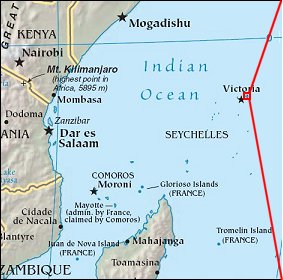   Map references: left: courtesy CIA, middle: courtesy US LoC Map Collection, right: courtesy NASA. This page has been updated on: 2007-Nov-08 |
||