 |
Mongolia: Flowering Steppe |
Album Overview
Photo Index
  |
|
More photos in the vicinity: Ogyi Nuur Riders Road to Tsetserleg |
The enchanting smell of flowering steppe grass, the horses gathering in groups in the apparently infinite landscape, and the peaceful scenery is able to put you into trance. |
|
|
Date: Jul 07, 2004 Longitude: 102° 38.05' Latitude: 47° 46.84'  
Show Photo Position in Google Maps |
||
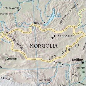 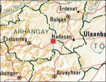 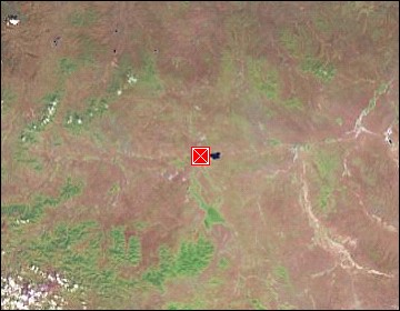 Map references: left: courtesy CIA, middle: courtesy US LoC Map Collection, right: courtesy NASA. This page has been updated on: 2007-Nov-08 |
||