 |
Mongolia: Wrestler's Rock |
Album Overview
Photo Index
  |
|
More photos in the vicinity: Wrestler's Rock Landscape near Tsetserleg Hoyd Tamir |
The rock in front of the cone-shaped hill is called the "wrestler's rock" because former wrestler's were said to have taken this rock for training.  |
|
|
Date: Jul 18, 2004 Longitude: 101° 15.56' Latitude: 47° 35.90'  
Show Photo Position in Google Maps |
||
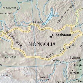 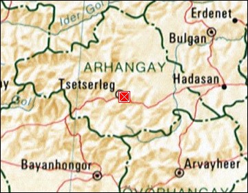 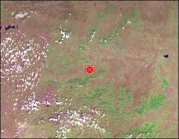 Map references: left: courtesy CIA, middle: courtesy US LoC Map Collection, right: courtesy NASA. This page has been updated on: 2007-Nov-08 |
||