 |
The Way of St James: Tence |
Album Overview
Photo Index
  |
|
More photos in the vicinity: Raffy Between Raffy and Queyriéres Queyrières |
Looking for the way to continue the pilgrimage to Santiago de Compostela - with menacing black clouds promising a storm - in the background the church of Saint Martin.  |
|
|
Date: May 05, 2007 Longitude: 4° 17.52' Latitude: 45° 6.87'  
Show Photo Position in Google Maps |
||
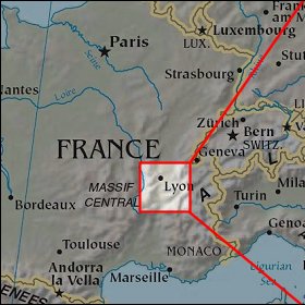  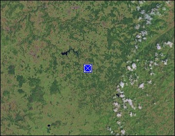 Map references: left: courtesy CIA, middle: courtesy US LoC Map Collection, right: courtesy NASA. This page has been updated on: 2008-Feb-21 |
||