 |
The Way of St James: Between Queyrières and Saint-Julien-Chapteuil |
Album Overview
Photo Index
  |
|
More photos in the vicinity: Saint-Julien-Chapteuil Saint-Julien-Chapteuil Saint-Julien-Chapteuil |
More basalt formations in the mining sites - Eastern part of the "Département de la Loire".  |
|
|
Date: May 06, 2007 Longitude: 4° 1.67' Latitude: 45° 2.27'  
Show Photo Position in Google Maps |
||
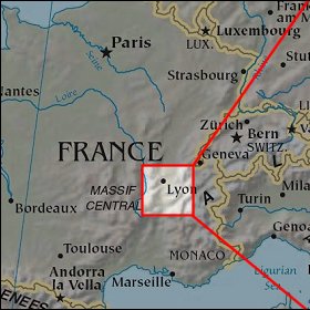 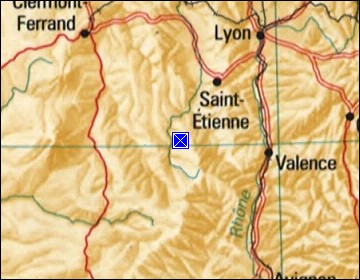  Map references: left: courtesy CIA, middle: courtesy US LoC Map Collection, right: courtesy NASA. This page has been updated on: 2008-Feb-21 |
||