 |
Lower Austria: Tullnerfeld in the Morning Haze |
Album Overview
Photo Index
  |
|
More photos in the vicinity: Tullnerfeld in the Morning Haze Tullnerfeld Tullnerfeld |
The Tullnerfeld is a large plain created by the Danube during thousands of years. Here we are standing at the edge of the Tullnerfeld, approx. 6 km south of the Danube. |
|
|
Date: Nov 05, 2003 Longitude: 16° 4.62' Latitude: 48° 16.83'  
Show Photo Position in Google Maps |
||
 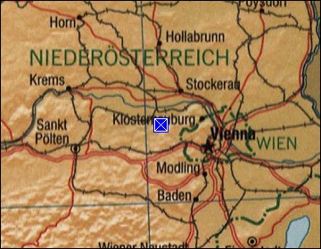 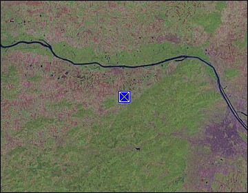 Map references: left: courtesy CIA, middle: courtesy LOC map collection, right: courtesy NASA. This page has been updated on: 2011-Jul-29 |
||