 |
Lower Austria: Dürnstein seen from Rossatz |
Album Overview
Photo Index
  |
|
More photos in the vicinity: Looking the Danube Downstream at Rossatz The Beach of Rossatz Weissenkirchen |
 |
|
|
Date: Aug 08, 2004 Longitude: 15° 30.98' Latitude: 48° 23.52'  
Show Photo Position in Google Maps |
||
 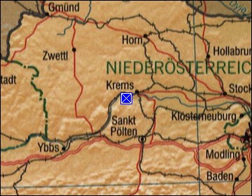 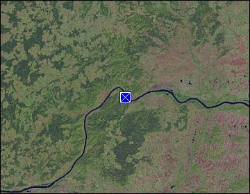 Map references: left: courtesy CIA, middle: courtesy LOC map collection, right: courtesy NASA. This page has been updated on: 2011-Jul-29 |
||