 |
Lower Austria: Parish Church of Senftenberg |
Album Overview
Photo Index
  |
|
More photos in the vicinity: Ruine Senftenberg Parish Church of Stein Austrian Forces helping During Danube Flood |
 |
|
|
Date: Oct 14, 2007 Longitude: 15° 33.88' Latitude: 48° 26.75'  
Show Photo Position in Google Maps |
||
 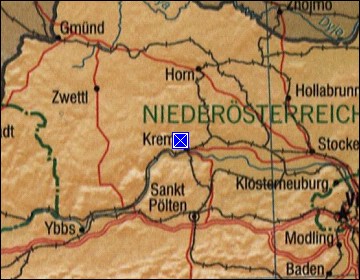  Map references: left: courtesy CIA, middle: courtesy LOC map collection, right: courtesy NASA. This page has been updated on: 2011-Jul-29 |
||