 |
Lower Austria: Embankment along the Danube |
Album Overview
Photo Index
  |
|
More photos in the vicinity: Road along the Danube Braunsberg and Danube Danube near Bad Deutsch Altenburg |
 |
|
|
Date: Apr 21, 2003 Longitude: 16° 53.01' Latitude: 48° 8.81'  
Show Photo Position in Google Maps |
||
 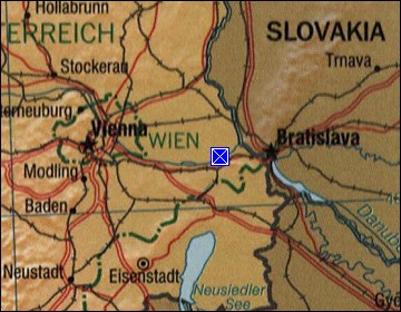 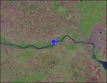 Map references: left: courtesy CIA, middle: courtesy LOC map collection, right: courtesy NASA. This page has been updated on: 2011-Jul-29 |
||