 |
Dornbirn: Rappenloch |
Album Overview
Photo Index
  |
|
More photos in the vicinity: Staufensee Staufensee Power Utility Ebensand |
The Rappenloch is one of the deepest gorges of Central Europe. The gorge has been carved into the lime-marl formation by the river Dornbirner Ache. |
|
|
Date: Jun 09, 2006 Longitude: 9° 46.74' Latitude: 47° 23.00'  
Show Photo Position in Google Maps |
||
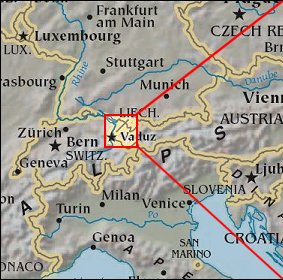   Map references: left: courtesy CIA, middle: courtesy US LoC Map Collection, right: courtesy NASA. This page has been updated on: 2007-Nov-07 |
||