 |
Berchtesgadner Land: Untersberg and Salzach Valley |
Album Overview
Photo Index
  |
|
More photos in the vicinity: Untersberg Salzach Valley seen From Rossfeld Dachstein and Tennengebirge seen from Rossfeld |
 |
|
|
Date: Feb 07, 2005 Longitude: 13° 5.61' Latitude: 47° 37.67'  
Show Photo Position in Google Maps |
||
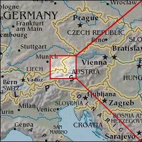 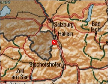 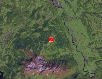 Map references: left: courtesy CIA, middle: courtesy US LoC Map Collection, right: courtesy NASA. This page has been updated on: 2007-Nov-07 |
||