 |
Heidelberg: Ritter |
Album Overview
Photo Index
  |
|
More photos in the vicinity: Pedestrian Zone in the City Center Heiliggeistkirche Jesuitenkirche |
Only very few houses of Heidelberg survived the demolitions during the Wars of Succession. This building (called "Ritter") is considered to be one of the most impressive monuments of the late Renaissance period. |
|
|
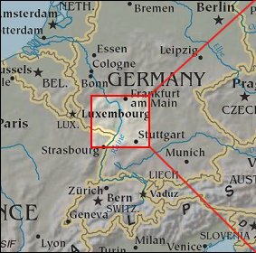
Date: Apr 20, 2006 Longitude: 8° 42.54' Latitude: 49° 24.73'  
Show Photo Position in Google Maps |
||
   Map references: left: courtesy CIA, middle: courtesy US LoC Map Collection, right: courtesy NASA. This page has been updated on: 2007-Nov-08 |
||