 |
Upper Austria: Weissenbach |
Album Overview
Photo Index
  |
|
More photos in the vicinity: Mouth of Weissenbach at Attersee Schoberstein and Mahdlkopf seen from Weissenbachtal Nixenfall |
The river Weissenbach ("white stream") is known for its shallow water with lots of white pebbles which invites kids to build dams and enjoy the power of the calm water. |
|
|
Date: May 30, 2003 Longitude: 13° 32.36' Latitude: 47° 47.61'  
Show Photo Position in Google Maps |
||
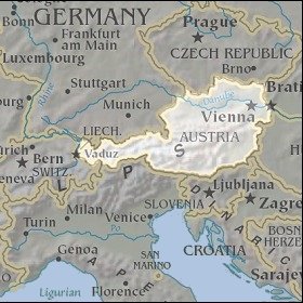 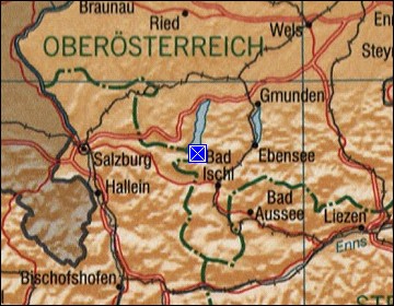 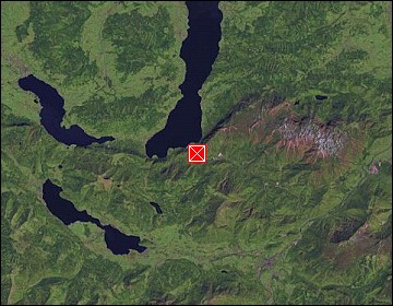 Map references: left: courtesy CIA, middle: courtesy LOC map collection, right: courtesy NASA. This page has been updated on: 2007-Nov-06 |
||