 |
Upper Austria: Nixenfall |
Album Overview
Photo Index
  |
|
More photos in the vicinity: Nixenfall Nixenfall Small River (Nixenfall) |
 |
|
|
Date: May 30, 2003 Longitude: 13° 33.22' Latitude: 47° 47.10'  
Show Photo Position in Google Maps |
||
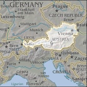 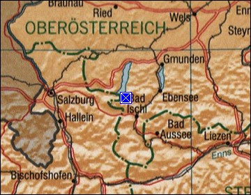 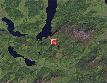 Map references: left: courtesy CIA, middle: courtesy LOC map collection, right: courtesy NASA. This page has been updated on: 2007-Nov-06 |
||