 |
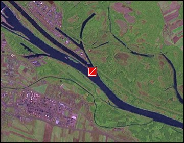
Vienna: Tanker docking at the Mole of Lobau |
Album Overview
Photo Index
  |
|
More photos in the vicinity: Container Ship at the Danube Pipe Bridge over the Danube Danube |
 |
|
|
Date: Sep 10, 2006 Longitude: 16° 31.65' Latitude: 48° 9.29'  
Show Photo Position in Google Maps |
||
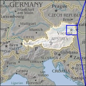   Map references: left: courtesy CIA, middle: courtesy LOC map collection, right: courtesy NASA. This page has been updated on: 2007-Nov-06 |
||