 |
Vienna: Schneeberg seen from the Center of Vienna |
Album Overview
Photo Index
  |
|
More photos in the vicinity: Skyline of Vienna - View towards Northwest Skyline of Vienna - Stephansdom Skyline of Vienna - View towards North |
The highest mountain of Lower Austria is the Schneeberg (2076 m). Normally, there is no chance to see the Schneeberg from the city center. However, once every two or three years the air is clear enough to see the mountain which is 65 km to the southwest. |
|
|
Date: Sep 15, 2006 Longitude: 16° 21.81' Latitude: 48° 12.04'  
Show Photo Position in Google Maps |
||
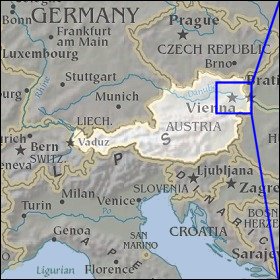   Map references: left: courtesy CIA, middle: courtesy LOC map collection, right: courtesy NASA. This page has been updated on: 2007-Nov-06 |
||