 |
Vienna: Mexikokirche |
Album Overview
Photo Index
  |
|
More photos in the vicinity: New Danube Mexikokirche Mexikokirche |
 |
|
|
Date: May 05, 2003 Longitude: 16° 24.64' Latitude: 48° 13.69'  
Show Photo Position in Google Maps |
||
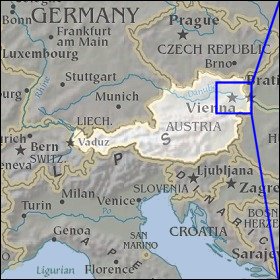 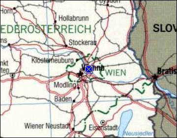 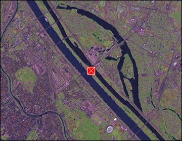 Map references: left: courtesy CIA, middle: courtesy LOC map collection, right: courtesy NASA. This page has been updated on: 2007-Nov-06 |
||