 |
L'viv: Modern Suburbs seen from Zamkova Hill |
Album Overview
Photo Index
  |
|
More photos in the vicinity: The Historic Center seen from Zamkova Hill Dominican Monastery Dormition Church |
 |
|
|
Date: Oct 01, 2007 Longitude: 24° 2.36' Latitude: 49° 50.89'  
Show Photo Position in Google Maps |
||
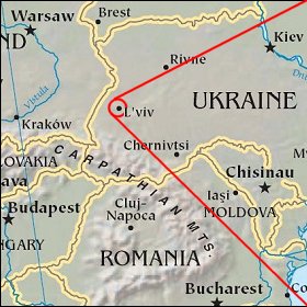   Map references: left: courtesy CIA, middle: courtesy US LoC Map Collection, right: courtesy NASA. This page has been updated on: 2008-Feb-08 |
||