 |
Hawaii/Kauai: Waimea Canyon Insight III |
Album Overview
Photo Index
  |
|
More photos in the vicinity: Waimea Canyon Insight II Waimea Canyon Waimea Canyon Insight I |
If you look along the main part of the canyon you can see still today how the big earthquake has almost ripped the island into two parts. |
|
|
Date: Dec 22, 2006 Longitude: -159° 39.68' Latitude: 22° 4.31'  
Show Photo Position in Google Maps |
||
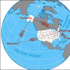 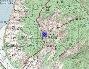 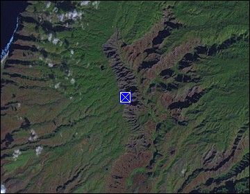 Map references: left: courtesy CIA, middle: courtesy US LoC Map Collection, right: courtesy NASA. This page has been updated on: 2011-Jul-28 |
||