 |
Morocco: Erg el M'hazil |
Album Overview
Photo Index
  |
|
More photos in the vicinity: Sand Dune At the Border to Algeria Border between Morocco and Algeria |
 |
|
|
Date: Nov 06, 2007 Longitude: -6° 10.11' Latitude: 29° 48.92'  
Show Photo Position in Google Maps |
||
 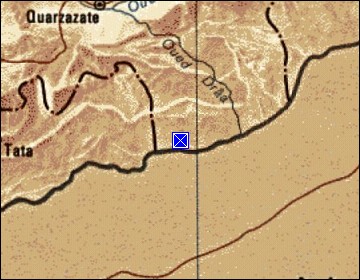 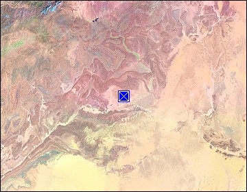 Map references: left: courtesy CIA, middle: courtesy US LoC Map Collection, right: courtesy NASA. This page has been updated on: 2008-Nov-29 |
||