 |
Oman: The Coast between Mutrah and Muscat |
Album Overview
Photo Index
  |
|
More photos in the vicinity: Bay of Mutrah Watchtower between Mutrah and Muscat Muskat |
 |
|
|
Date: Feb 19, 2010 Longitude: 58° 34.74' Latitude: 23° 37.57'  
Show Photo Position in Google Maps |
||
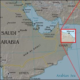 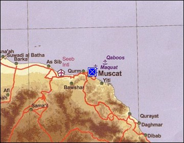 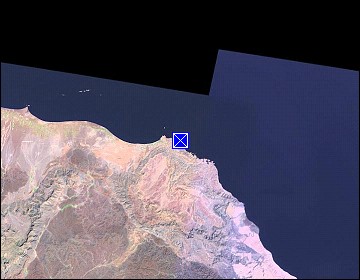 Map references: left: courtesy CIA, middle: courtesy US LoC Map Collection, right: courtesy NASA. This page has been updated on: 2011-Jul-31 |
||