 |
Oman: Ruins in Ibra |
Album Overview
Photo Index
  |
|
More photos in the vicinity: Layered Rocks In the Middle of Nowhere... Omani in Traditional Clothing |
The old Ibra was once a prosperous quarter that thrived during 19th century. Merchants with East African connections are said to have built these palaces. |
|
|
Date: Feb 23, 2010 Longitude: 58° 32.04' Latitude: 22° 41.20'  
Show Photo Position in Google Maps |
||
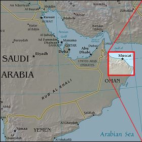   Map references: left: courtesy CIA, middle: courtesy US LoC Map Collection, right: courtesy NASA. This page has been updated on: 2011-Jul-31 |
||