 |
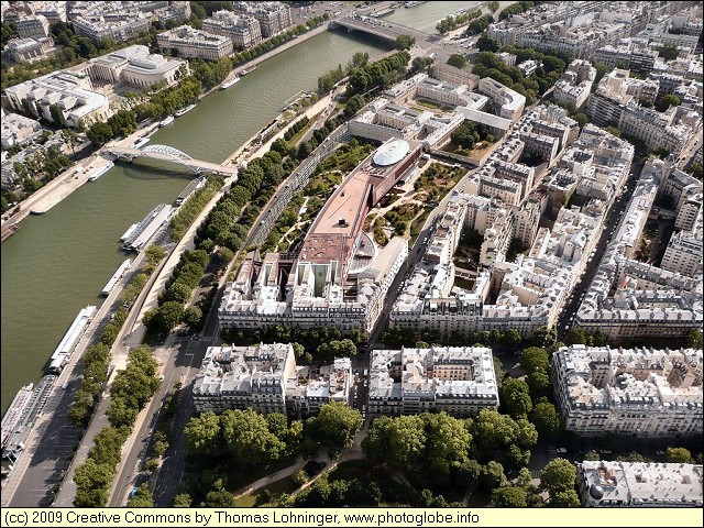
Paris: [paris_20080710_013.jpg] |
Album Overview
Photo Index
  |
|
More photos in the vicinity: Passerelle Debilly seen from Eiffel Tower [paris_20080710_012.jpg] Looking Down from Eiffel Tower |
 |
|
|
Date: Jul 10, 2008 Longitude: 2° 17.66' Latitude: 48° 51.50'  
Show Photo Position in Google Maps |
||
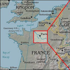 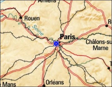 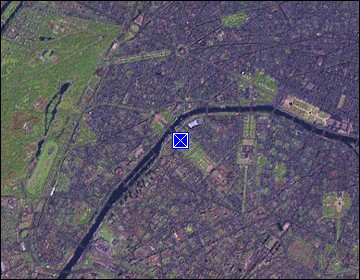 Map references: left: courtesy CIA, middle: courtesy US LoC Map Collection, right: courtesy NASA. This page has been updated on: 2011-Jul-31 |
||