 |
Paris: Notre-Dame de Paris |
More about in Wikipedia
Album Overview
Photo Index
  |
|
More photos in the vicinity: Notre-Dame de Paris Hôtel de Ville Notre-Dame de Paris |
Notre Dame de Paris was among the first buildings in the world to use the flying buttress (arched exterior supports). |
|
|
Date: May 22, 2009 Longitude: 2° 21.02' Latitude: 48° 51.11'  
Show Photo Position in Google Maps |
||
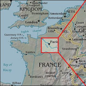 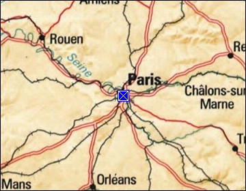 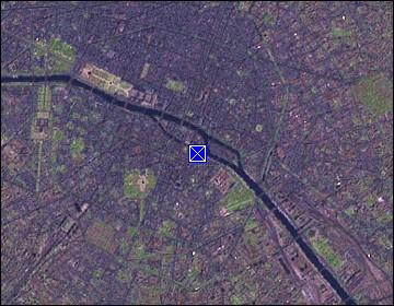 Map references: left: courtesy CIA, middle: courtesy US LoC Map Collection, right: courtesy NASA. This page has been updated on: 2011-Jul-31 |
||