 |
Paris: Eiffel Tower |
More about in Wikipedia
Album Overview
Photo Index
  |
|
More photos in the vicinity: Passerelle Debilly The River Seine Eiffel Tower |
 |
|
|
Date: May 22, 2009 Longitude: 2° 17.54' Latitude: 48° 51.62'  
Show Photo Position in Google Maps |
||
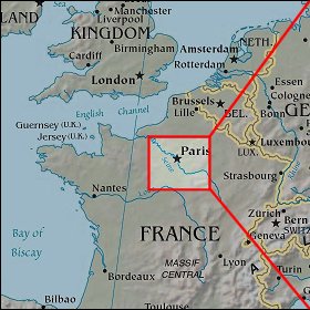 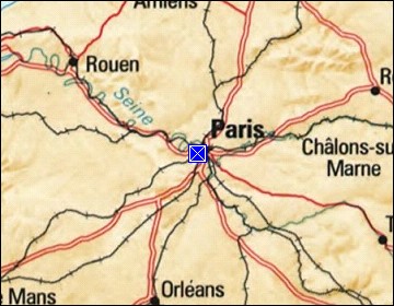 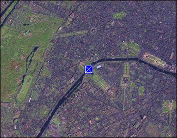 Map references: left: courtesy CIA, middle: courtesy US LoC Map Collection, right: courtesy NASA. This page has been updated on: 2011-Jul-31 |
||