 |
Central Guatemala: Lago de Atitlán from Space |
Album Overview
Photo Index
  |
|
More photos in the vicinity: Lago Atitlán Lago de Atitlán Lago de Atitlán |
This photo of Lago de Atitlán has been taken from the Space Shuttle. In the lower left quarter of the photo you see the volcanoes San Pedro (left) and Toliman and Atitlán (bottom). |
|
|
Date: Jun 19, 2005 Longitude: -91° 3.64' Latitude: 14° 36.45'  
Show Photo Position in Google Maps |
||
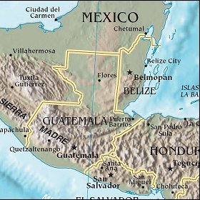   Map references: left: courtesy CIA, middle: courtesy US LoC Map Collection, right: courtesy NASA. This page has been updated on: 2007-Nov-08 |
||