 |
Central Guatemala: Lago de Atitlán |
Album Overview
Photo Index
  |
|
More photos in the vicinity: Fisher Boat on the Lago de Atitlán Roots of a Fig Tree Dug-Out at the Atitlán Lake |
Formed by a caldera (which has its origin from an eruption 84000 years ago), Lago de Atitlán is 320 meters deep, the deepest lake in Central America. |
|
|
Date: Dec 26, 2004 Longitude: -91° 10.19' Latitude: 14° 40.35'  
Show Photo Position in Google Maps |
||
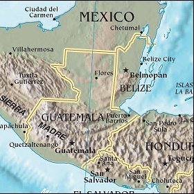   Map references: left: courtesy CIA, middle: courtesy US LoC Map Collection, right: courtesy NASA. This page has been updated on: 2007-Nov-08 |
||