 |
Central Guatemala: Former Railway Terminal at Puerto San José |
Album Overview
Photo Index
  |
|
More photos in the vicinity: FEGUA Terminal at Puerto San José Beach between Puerto San José and Puerto Quetzal Public Transport |
At its height, FEGUA enjoyed a status as the most important rail network in central America, despite operating on a non-standard 1067mm gauge. Here you see the remains of the railway tracks at Puerto San José. |
|
|
Date: Jän 02, 2005 Longitude: -90° 49.14' Latitude: 13° 55.06'  
Show Photo Position in Google Maps |
||
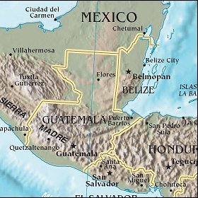 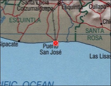 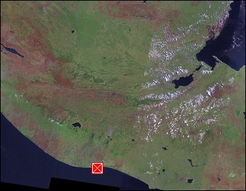 Map references: left: courtesy CIA, middle: courtesy US LoC Map Collection, right: courtesy NASA. This page has been updated on: 2007-Nov-08 |
||