 |
Stockholm: Norr Mälarstrand |
Album Overview
Photo Index
  |
|
More photos in the vicinity: Riddarholmen City Hall and Riddarholmen Riddarholmen and Gamla Stan |
Typical Swedish architecture at Norr Mälarstrand. |
|
|
Date: Jul 28, 2005 Longitude: 18° 2.53' Latitude: 59° 19.45'  
Show Photo Position in Google Maps |
||
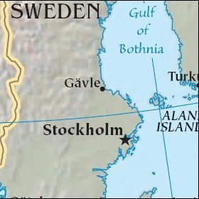   Map references: left: courtesy CIA, middle: historic map of 1912, right: courtesy NASA. This page has been updated on: 2007-Nov-08 |
||