 |
Stockholm: Central Station and Norrmalm |
Album Overview
Photo Index
  |
|
More photos in the vicinity: Kungliga Slottet Södermalm seen from Stadshuset Riddarholmen and Gamla Stan |
The central station (called T-Centralen) in the front of this picture and the modern buildings north to it have been built in the 1950s upon the remnants of an historic part of the city which has been torn down for modernization. |
|
|
Date: Jul 28, 2005 Longitude: 18° 3.36' Latitude: 59° 19.65'  
Show Photo Position in Google Maps |
||
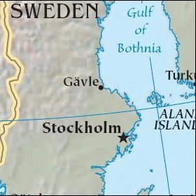   Map references: left: courtesy CIA, middle: historic map of 1912, right: courtesy NASA. This page has been updated on: 2007-Nov-08 |
||