 |
Bretagne: Tréguier |
Album Overview
Photo Index
  |
|
More photos in the vicinity: The estuary of the river Le Jaundy Estuary of the River Trieux The "Leaning Tower" of Plougrescant |
Half-timbered houses along a small lane in Trèguier. |
|
|
Date: Jun 12, 2008 Longitude: -3° 13.77' Latitude: 48° 47.28'  
Show Photo Position in Google Maps |
||
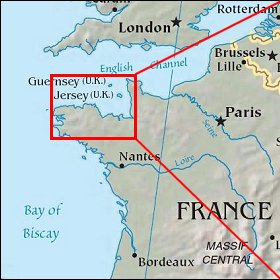   Map references: left: courtesy CIA, middle: courtesy US LoC Map Collection, right: courtesy NASA. This page has been updated on: 2009-Feb-03 |
||