 |
Gran Canaria: Pinar de Tamadaba |
Album Overview
Photo Index
  |
|
More photos in the vicinity: Along the West Coast II Along the West Coast Baranco de Agaete |
One of the most impressive places is the large pine tree forest called Pinar de Tamadaba, a few kilometers west of Artenara. From there you can look straight onto the steep rocks of the western coast, 1500m below. |
|
|
Date: Nov 24, 2004 Longitude: -15° 41.76' Latitude: 28° 2.72'  
Show Photo Position in Google Maps |
||
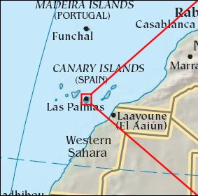 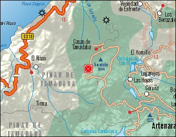  Map references: left: courtesy CIA, middle: courtesy Cicar, right: courtesy NASA. This page has been updated on: 2007-Nov-08 |
||