 |
Mongolia: Chuluut River Canyon |
Album Overview
Photo Index
  |
|
More photos in the vicinity: Tsagaan Nuur Mongol Nomad Running Ghosts |
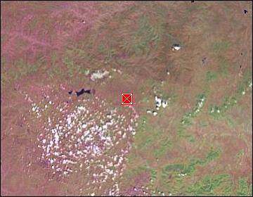
The Chuluut river carved a deep canyon into the basalt rocks. This canyon is famous for its rich fishing grounds. |
|
|
Date: Jul 19, 2004 Longitude: 100° 17.79' Latitude: 48° 6.44'  
Show Photo Position in Google Maps |
||
   Map references: left: courtesy CIA, middle: courtesy US LoC Map Collection, right: courtesy NASA. This page has been updated on: 2007-Nov-08 |
||