 |
Mongolia: Tsagaan Nuur |
Album Overview
Photo Index
  |
|
More photos in the vicinity: Landscape near Khorgo Volcano Chuluut River Canyon Horses |
In the background you see Tsagaan Nuur, a freshwater lake whose water empties into a tributary of Selenge Moron, Mongolia's largest river system. The lake was formed when lava blocked the Sumangiin Gol, which has cut a deep canyon through the basalt. |
|
|
Date: Jul 19, 2004 Longitude: 99° 49.37' Latitude: 48° 8.30'  
Show Photo Position in Google Maps |
||
 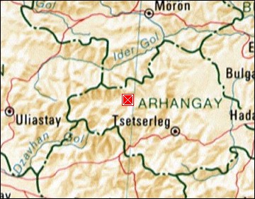 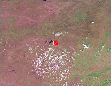 Map references: left: courtesy CIA, middle: courtesy US LoC Map Collection, right: courtesy NASA. This page has been updated on: 2007-Nov-08 |
||