 |
Gozo: Coast West of Marsalforn |
Album Overview
Photo Index
  |
|
More photos in the vicinity: Violet Flower Salt Pans West of Marsalforn Sandstone near Marsalforn |
The soft sandstone gives rise to bizarre rock formations creating a coast which falls down to sea level in various steps. The lowest level is used for salt production. In the background of the photo you see the redoubt of Quolla I-Bajda.  |
|
|
Date: Apr 01, 2004 Longitude: 14° 14.25' Latitude: 36° 4.86'  
Show Photo Position in Google Maps |
||
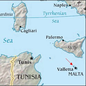 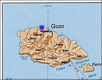 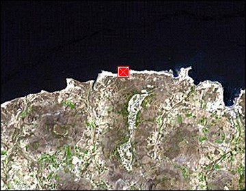 Map references: left: courtesy CIA, middle: courtesy US LoC Map Collection, right: courtesy NASA. This page has been updated on: 2007-Nov-08 |
||