 |
Gozo: Quarrel |
Album Overview
Photo Index
  |
|
More photos in the vicinity: Azure Window Azure Window Xlendi Bay and is-Sanap |
 |
|
|
Date: Apr 06, 2004 Longitude: 14° 11.80' Latitude: 36° 2.43'  
Show Photo Position in Google Maps |
||
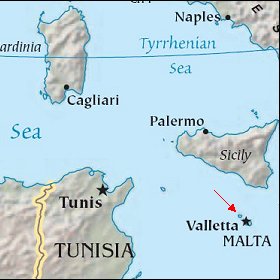 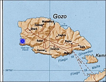 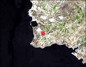 Map references: left: courtesy CIA, middle: courtesy US LoC Map Collection, right: courtesy NASA. This page has been updated on: 2007-Nov-08 |
||