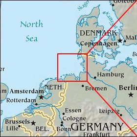
 |
Helgoland: Northern Gannet |
Album Overview
Photo Index
  |
|
More photos in the vicinity: Lange Anna Close-up of Lange Anna Lummenfels |
These birds are spectacular divers, plunging into the ocean at high speed. They mainly eat small fish which gather in groups near the surface.  |
|
|
Date: Jun 30, 2008 Longitude: 7° 52.35' Latitude: 54° 11.20'  
Show Photo Position in Google Maps |
||
  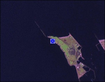 Map references: left: courtesy CIA, middle: courtesy US LoC Map Collection, right: courtesy NASA. This page has been updated on: 2009-Feb-23 |
||