 |
Berchtesgadner Land: Hoher Göll seen from Rossfeld |
Album Overview
Photo Index
  |
|
More photos in the vicinity: Dachstein and Lammer Valley seen from Rossfeld Salzach Valley Seen From Rossfeld Salzach Valley seen From Rossfeld |
This photo of a winterly fairyland has been taken at the top of Rossfeld at an elevation of about 1500 m. The mountain in the background is called Hoher Göll (2500 m). |
|
|
Date: Feb 07, 2005 Longitude: 13° 5.76' Latitude: 47° 37.68'  
Show Photo Position in Google Maps |
||
 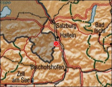 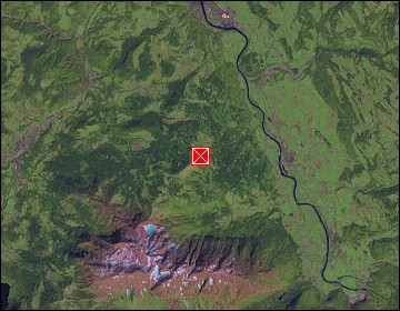 Map references: left: courtesy CIA, middle: courtesy US LoC Map Collection, right: courtesy NASA. This page has been updated on: 2007-Nov-07 |
||