 |
Berchtesgadner Land: Kehlstein and Hoher Göll |
Album Overview
Photo Index
  |
|
More photos in the vicinity: Hoher Göll Hoher Göll Hoher Göll |
In the late afternoon, when the valleys already lie in the shadow, the mountains glow in the sun with double intensity. Here you see the Kehlstein (at the left with the Kehlsteinhaus on its top) and the Hoher Göll. |
|
|
Date: Feb 07, 2005 Longitude: 12° 59.73' Latitude: 47° 36.46'  
Show Photo Position in Google Maps |
||
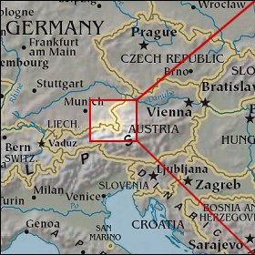   Map references: left: courtesy CIA, middle: courtesy US LoC Map Collection, right: courtesy NASA. This page has been updated on: 2007-Nov-07 |
||