 |
Gibraltar: Close-up of Gibraltar IV |
Album Overview
Photo Index
  |
|
More photos in the vicinity: Close-up of Gibraltar III Close-up of Gibraltar II Close-up of Gibraltar I |
 |
|
|
Date: Aug 17, 2006 Longitude: -5° 26.58' Latitude: 36° 5.94'  
Show Photo Position in Google Maps |
||
 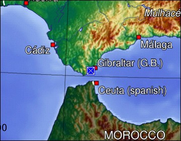 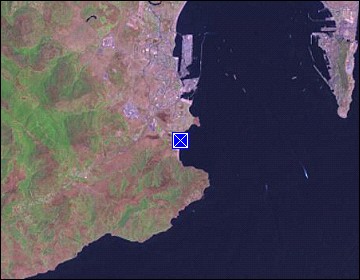 Map references: left: courtesy CIA, middle: generated by GMT, right: courtesy NASA. This page has been updated on: 2007-Nov-08 |
||